Lost Shoes
(2018-)iPhone photography
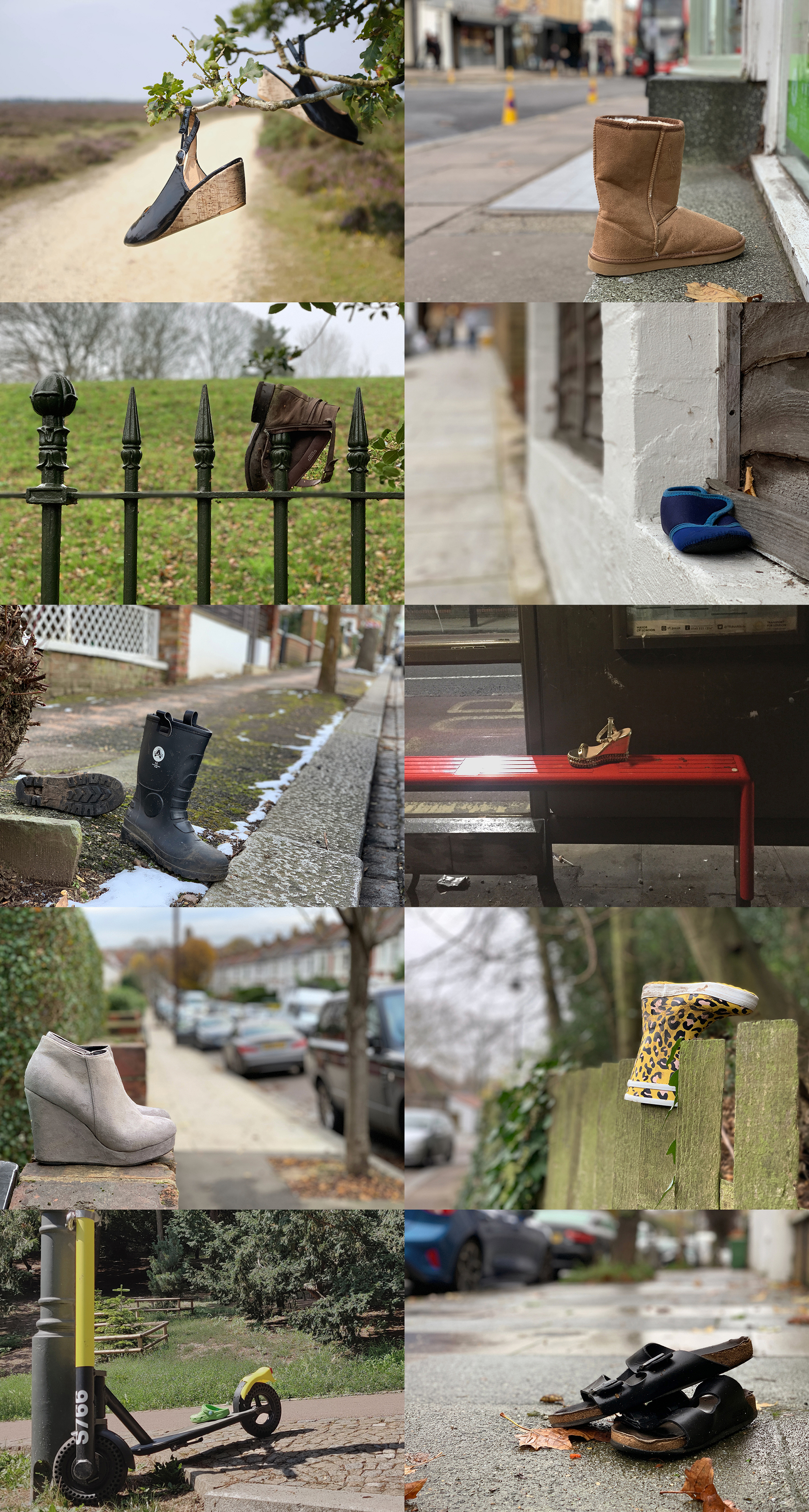
I add to this collection periodically: basically whenever I come across abandoned footwear. Of the types of lost shoes, the diminutive size of the childrens’ shoes naturally confer on them an endearing forlornness. But they are the most predictable, because children are always losing shoes.
It is the high heels, however, that raise questions. For example, I was on a bike ride in the New Forest when I came across the wedge slingbacks (1) hanging from a tree. In the middle of gravelly heathland with the nearest car park miles away, had their former owner simply underestimated the distance and terrain and switch to an available alternative? I hope so.
Was the gold sandal wedge (6) abandoned at the bus stop because the other one had already been lost or broken earlier in the night? The discarded grey suede ankle boots (9), meanwhile, had been neatly presented on a wall in front of a bin, perhaps to entice a passer-by to pick them up.
The positioning of the pair of wellies (5) and Birkenstock sandals (10) suggest they were forgotten or overlooked. The former, sat waiting for their owner on the kerbside, were left behind when loading a car after a walk. The latter were mislaid after having been set down in the middle of the pavement while their owner rearranged the contents of the bag they had been in.

Lockdown_1
(2020)iPhone photography
Mini short films
When Lockdown 1 was first imposed in 2020, everyday life underwent a profound and sudden quietening. The streets were empty, the skies too, and you could hear the birds.
As part of my mandated exercise I started cycling around central London to record the strangeness of my newly deserted city through photographs and short films.
As part of my mandated exercise I started cycling around central London to record the strangeness of my newly deserted city through photographs and short films.
First loop.
The City.
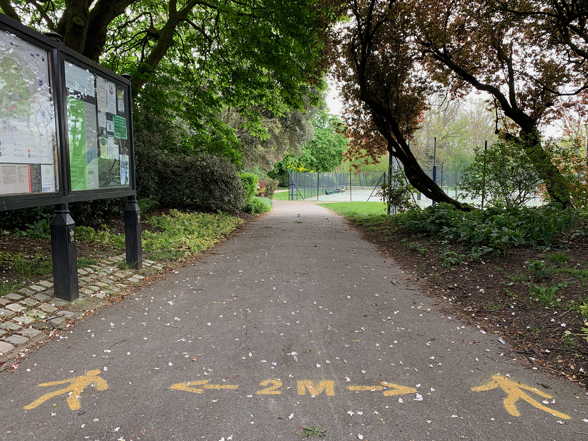
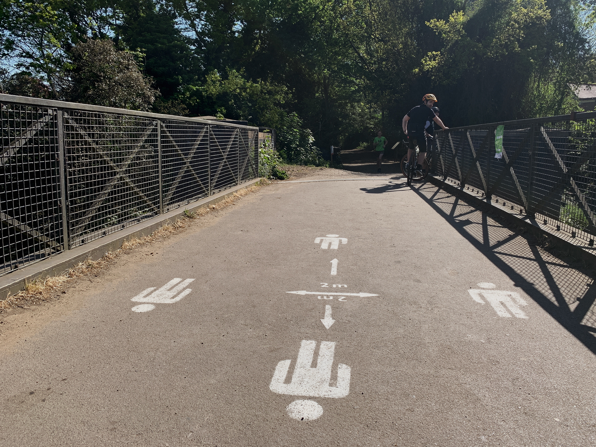
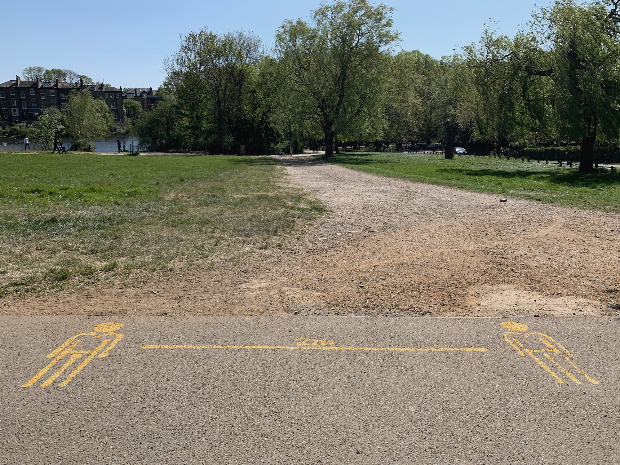
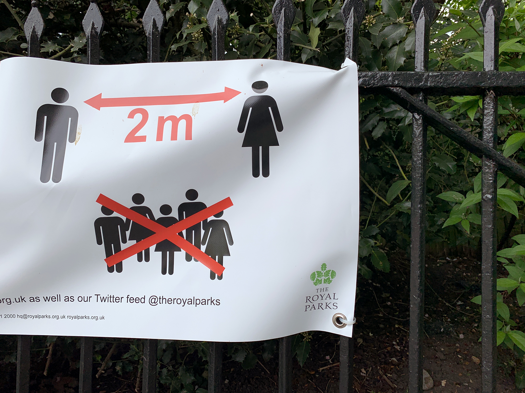
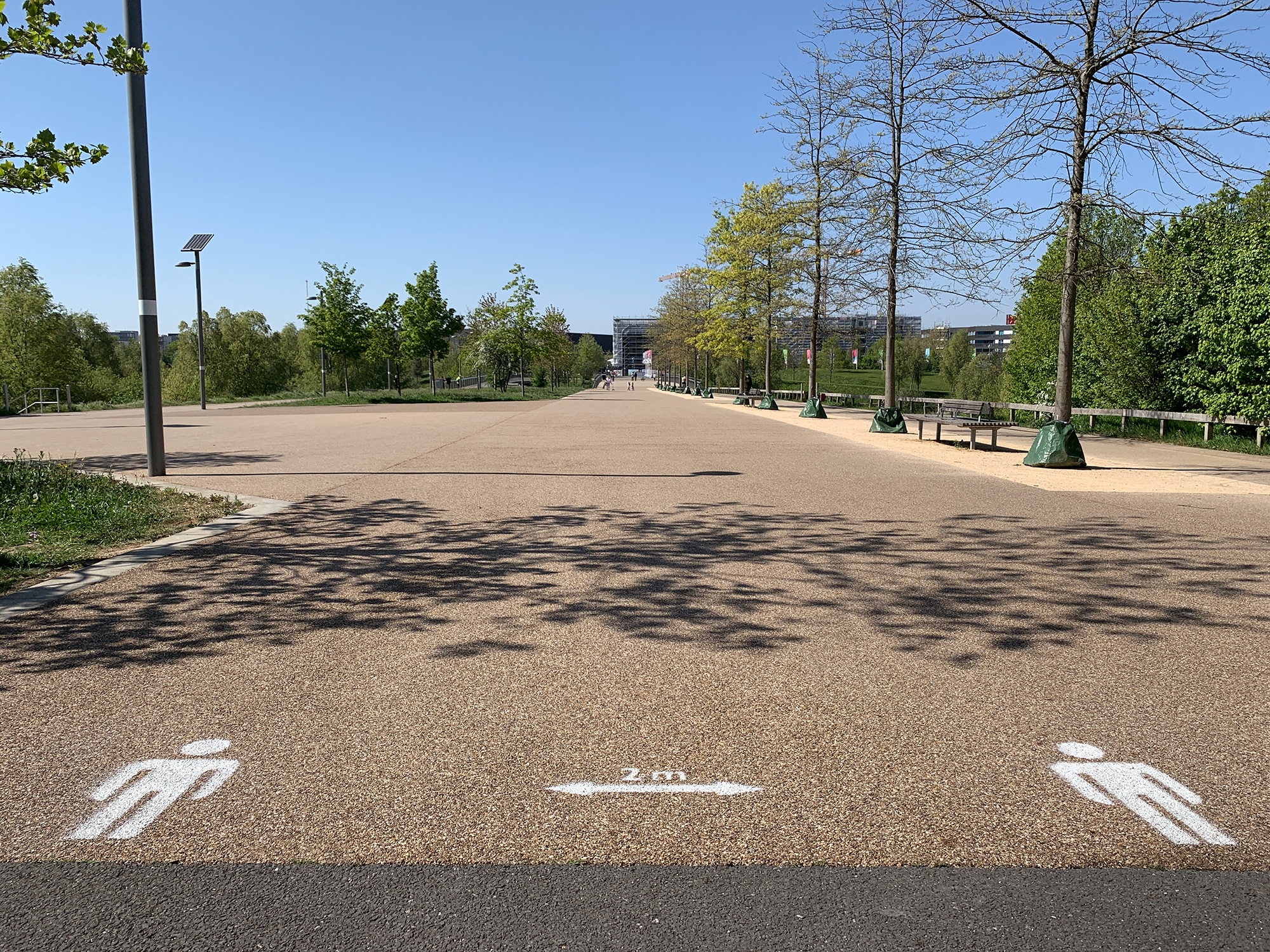
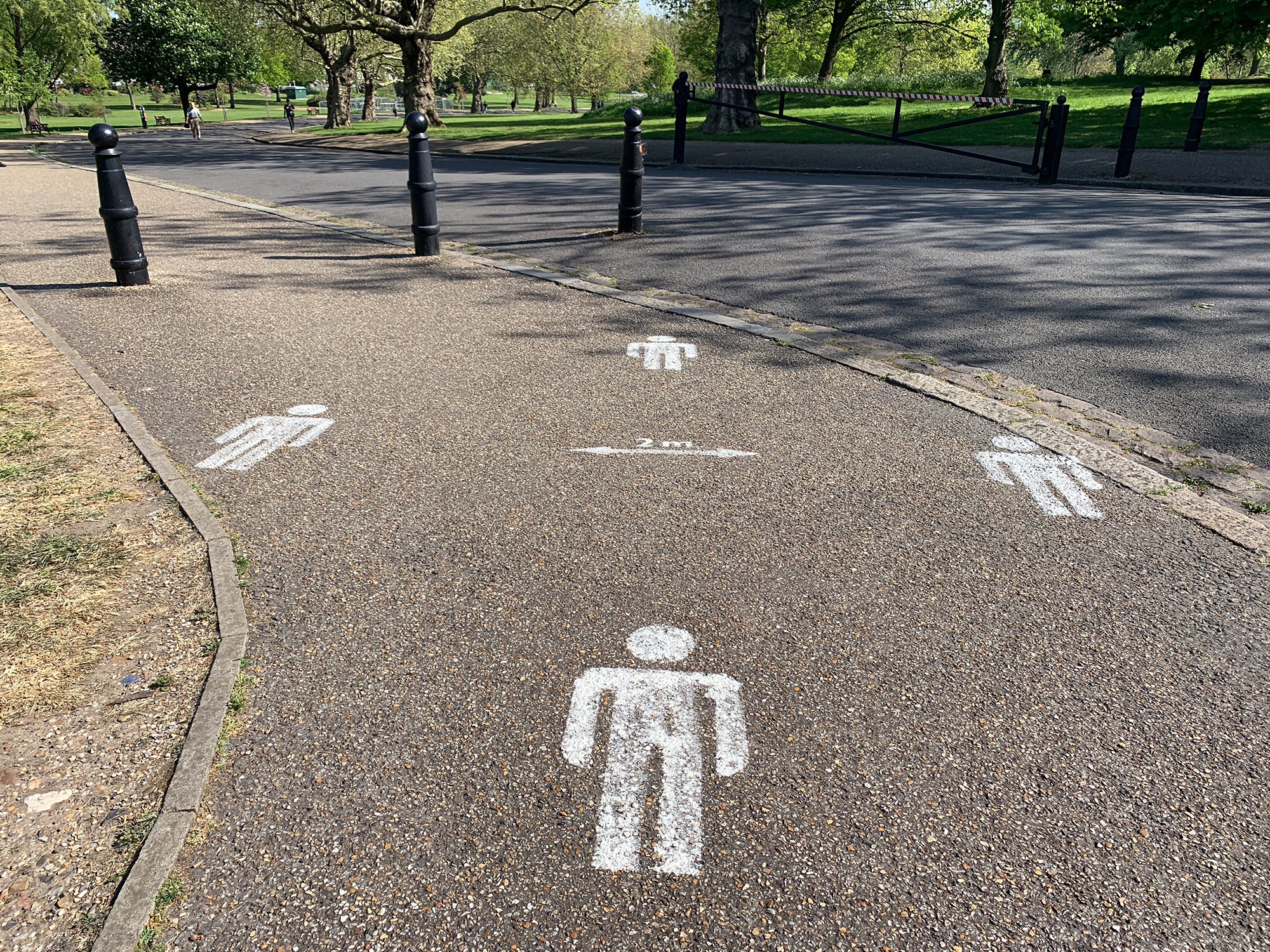
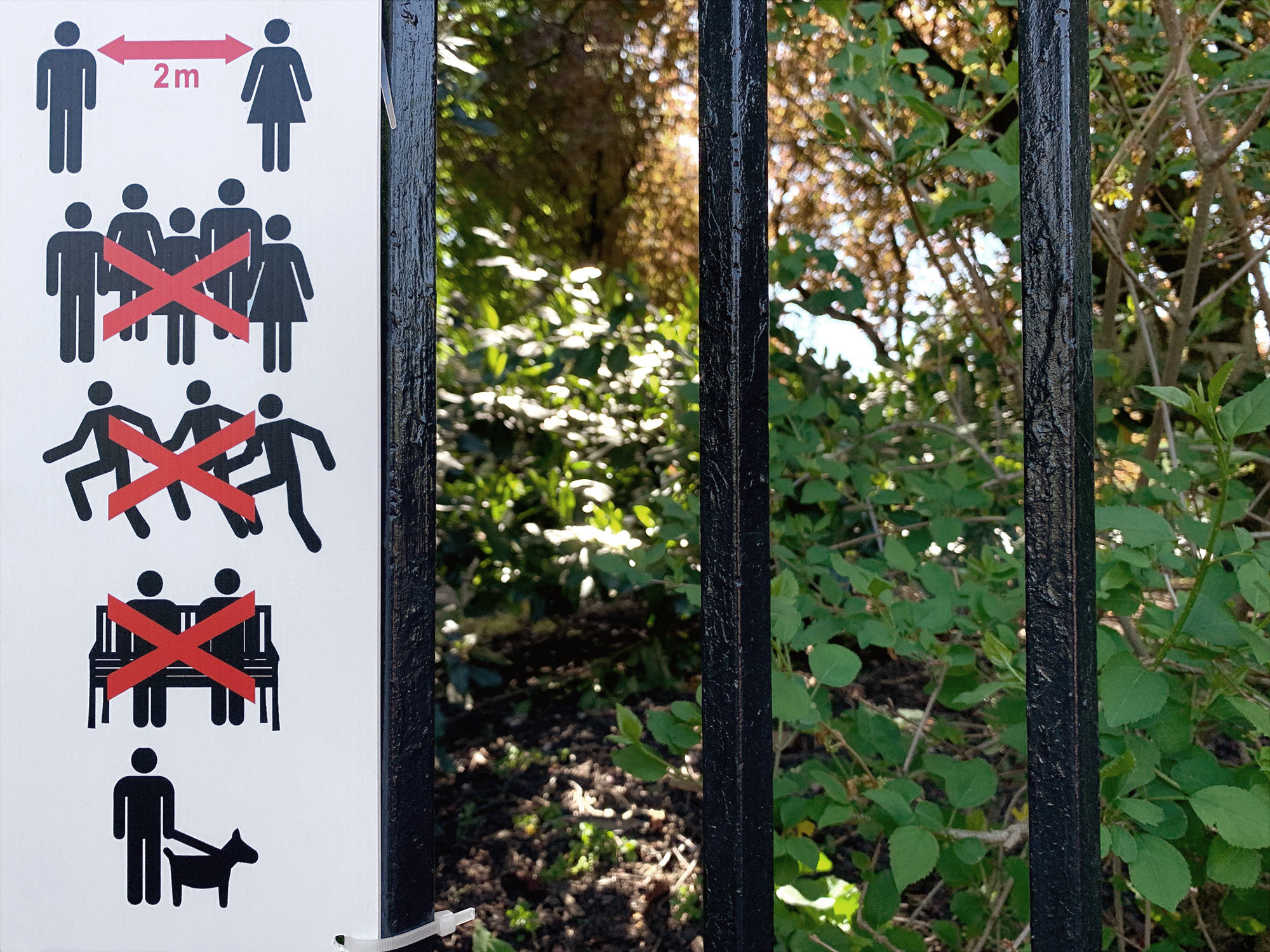
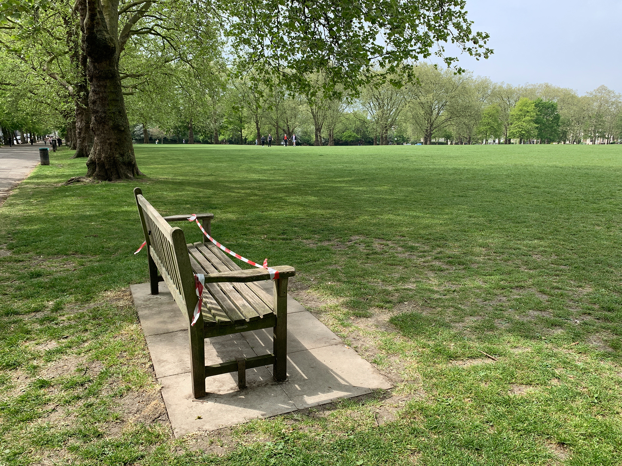
In London’s parks, a whole new form of graphic communication appeared overnight with these Keep Your Distance signs.
Oxford Street Rendezvous.
With non-essential retail closed, Oxford Street - London’s famous 2km long shopping street for everything but essential things in life - was effectively shut down. It was an eerie sight, almost post-apocalyptic, or maybe a glimpse at what the end of western capitalism might look like.
Oxford Street Rendezvous (2020) is a timelapse journey along the length of the street, from east to west. Like its namesake C'était un rendez-vous (1976) it was filmed in a single take, but on a pedal bike mid-morning on a Monday in London rather than in a speeding car at dawn on a Sunday in Paris.
Oxford Street Rendezvous (2020) is a timelapse journey along the length of the street, from east to west. Like its namesake C'était un rendez-vous (1976) it was filmed in a single take, but on a pedal bike mid-morning on a Monday in London rather than in a speeding car at dawn on a Sunday in Paris.

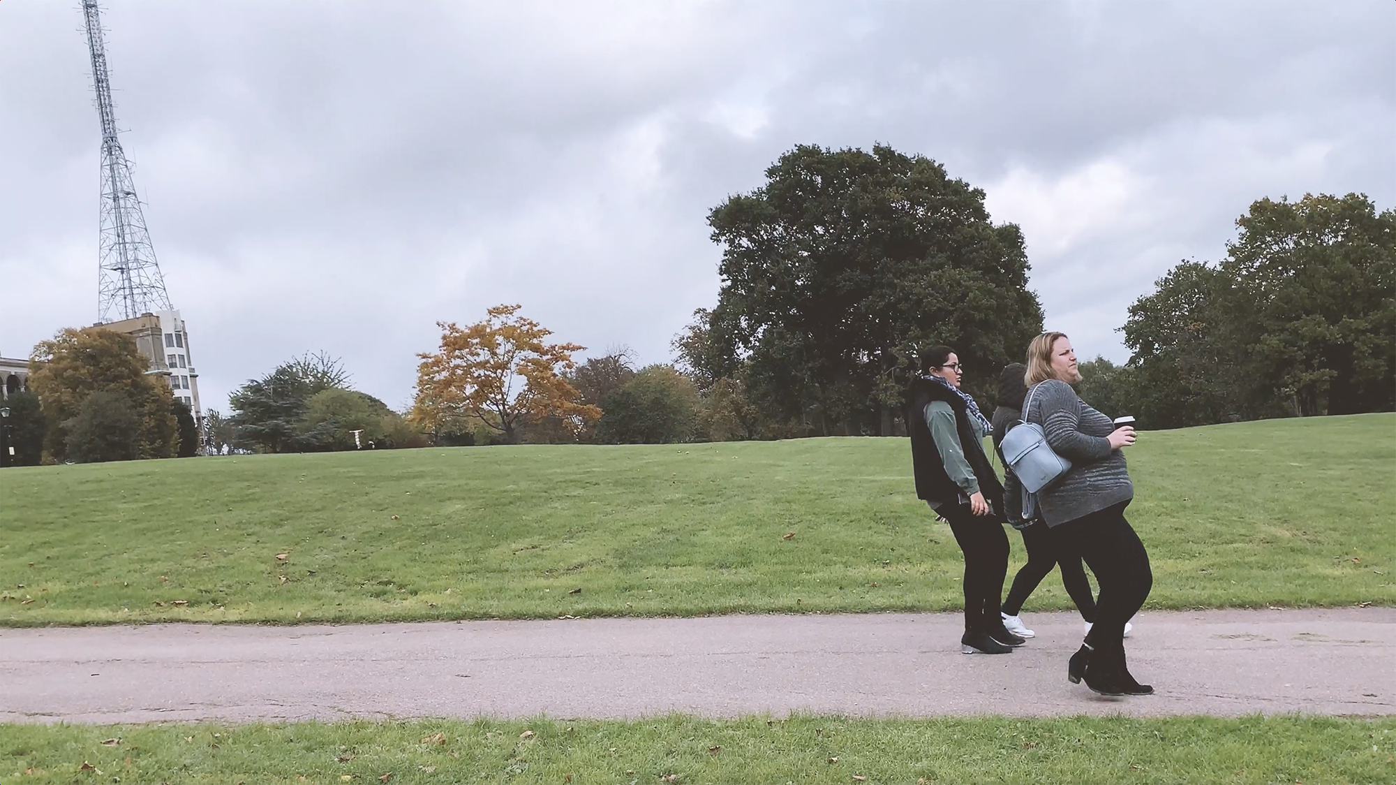
As the new normal of Lockdown 1 settled in, the high streets were largely deserted, apart from queues outside supermarkets.
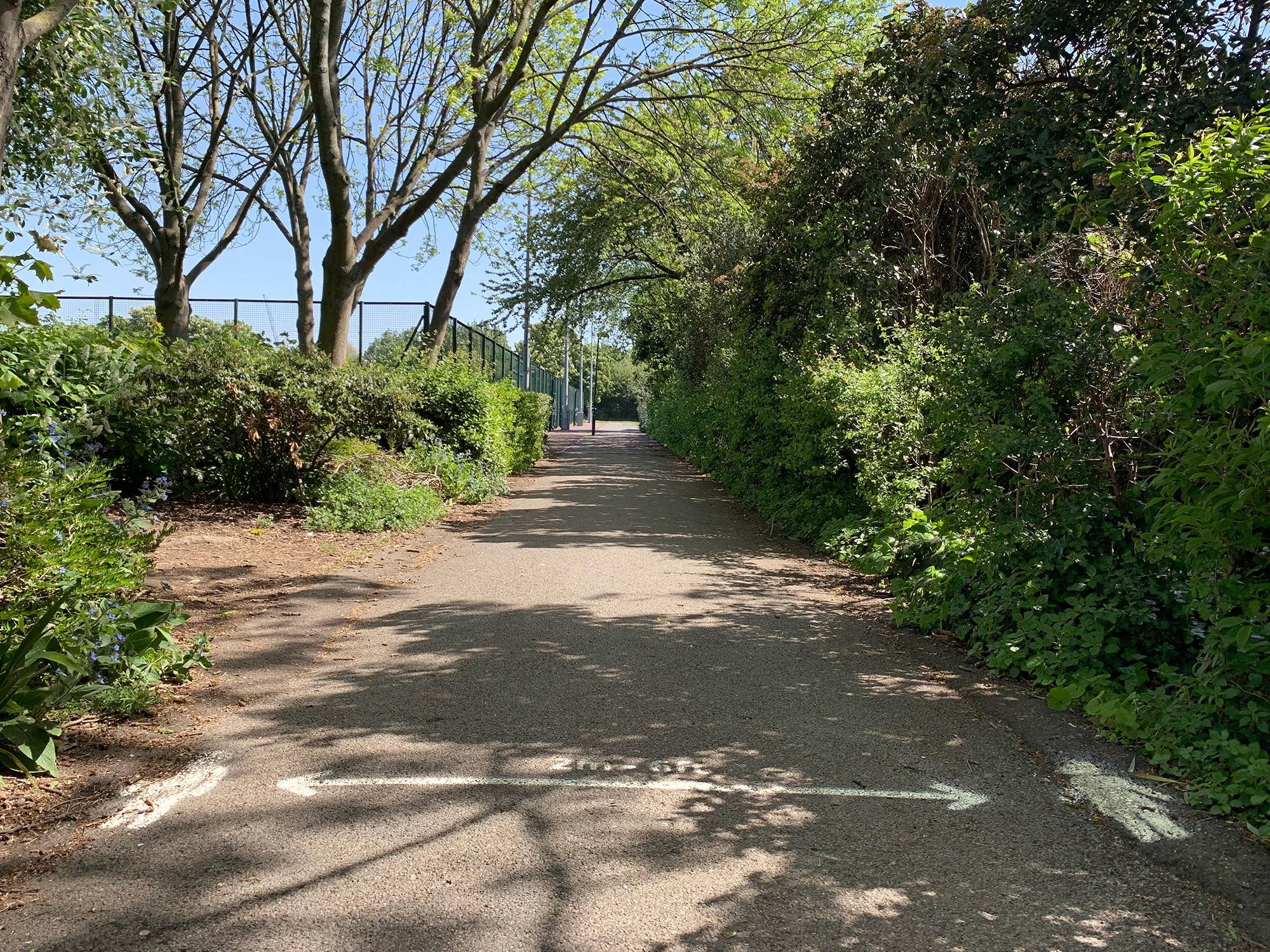
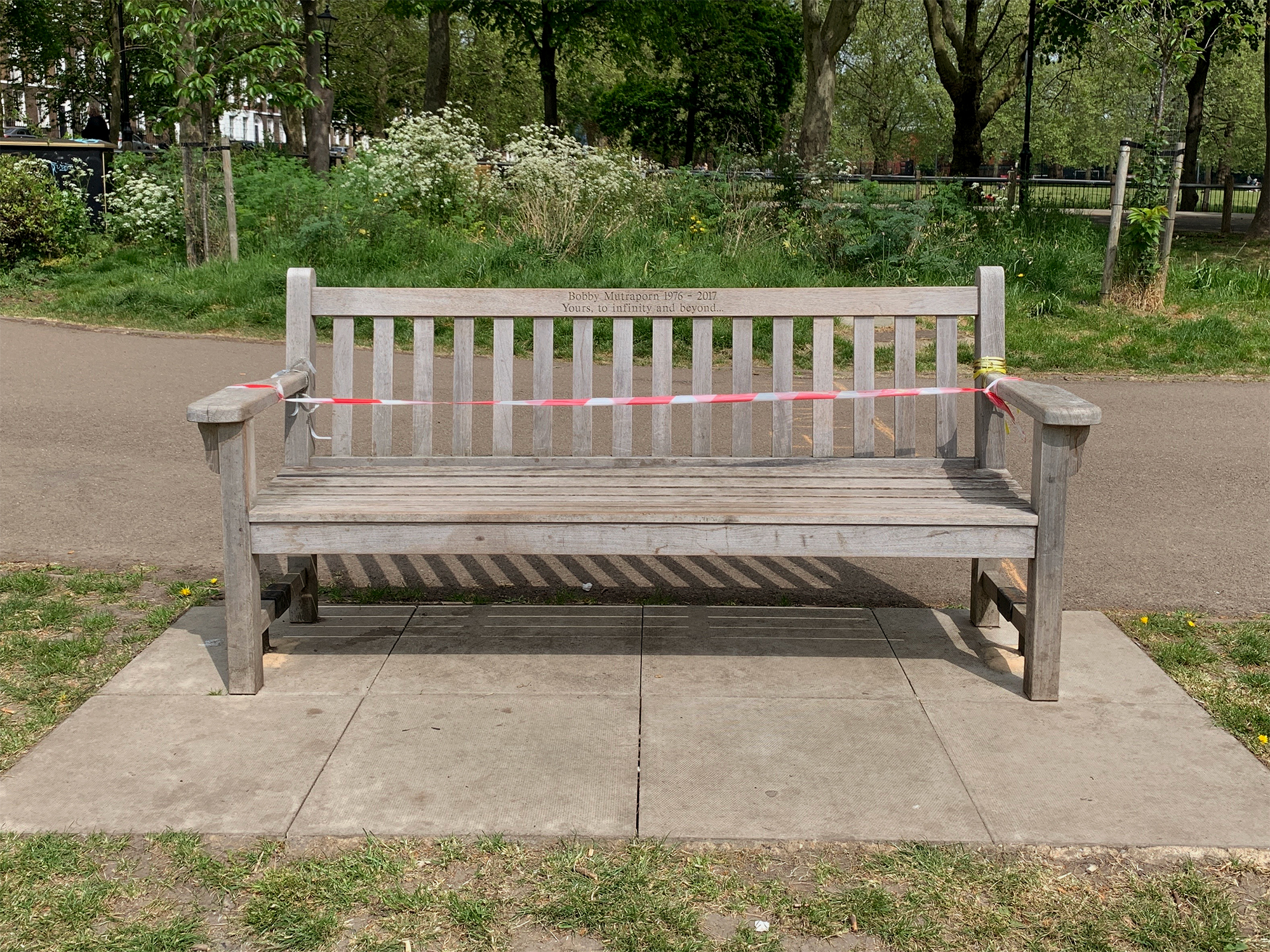
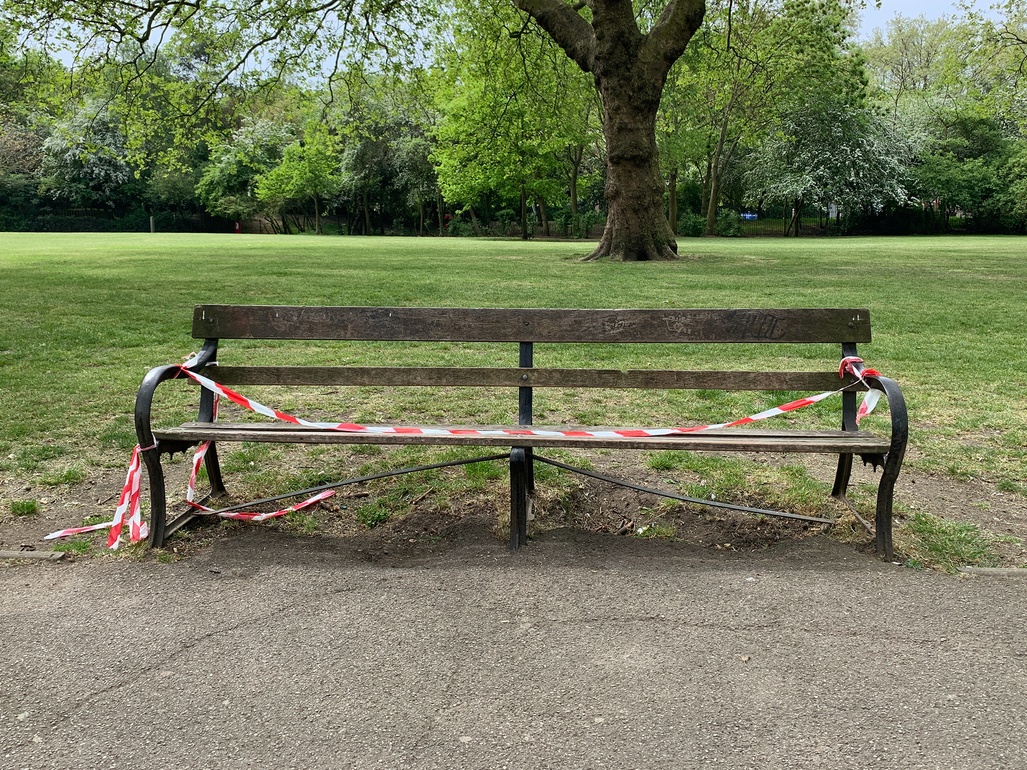
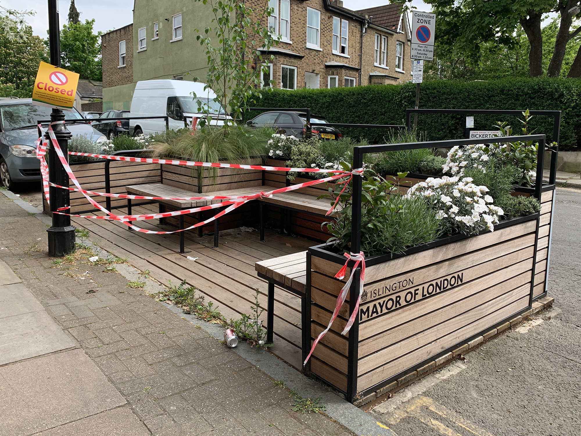
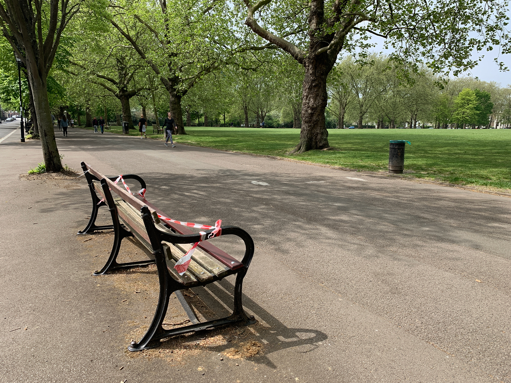
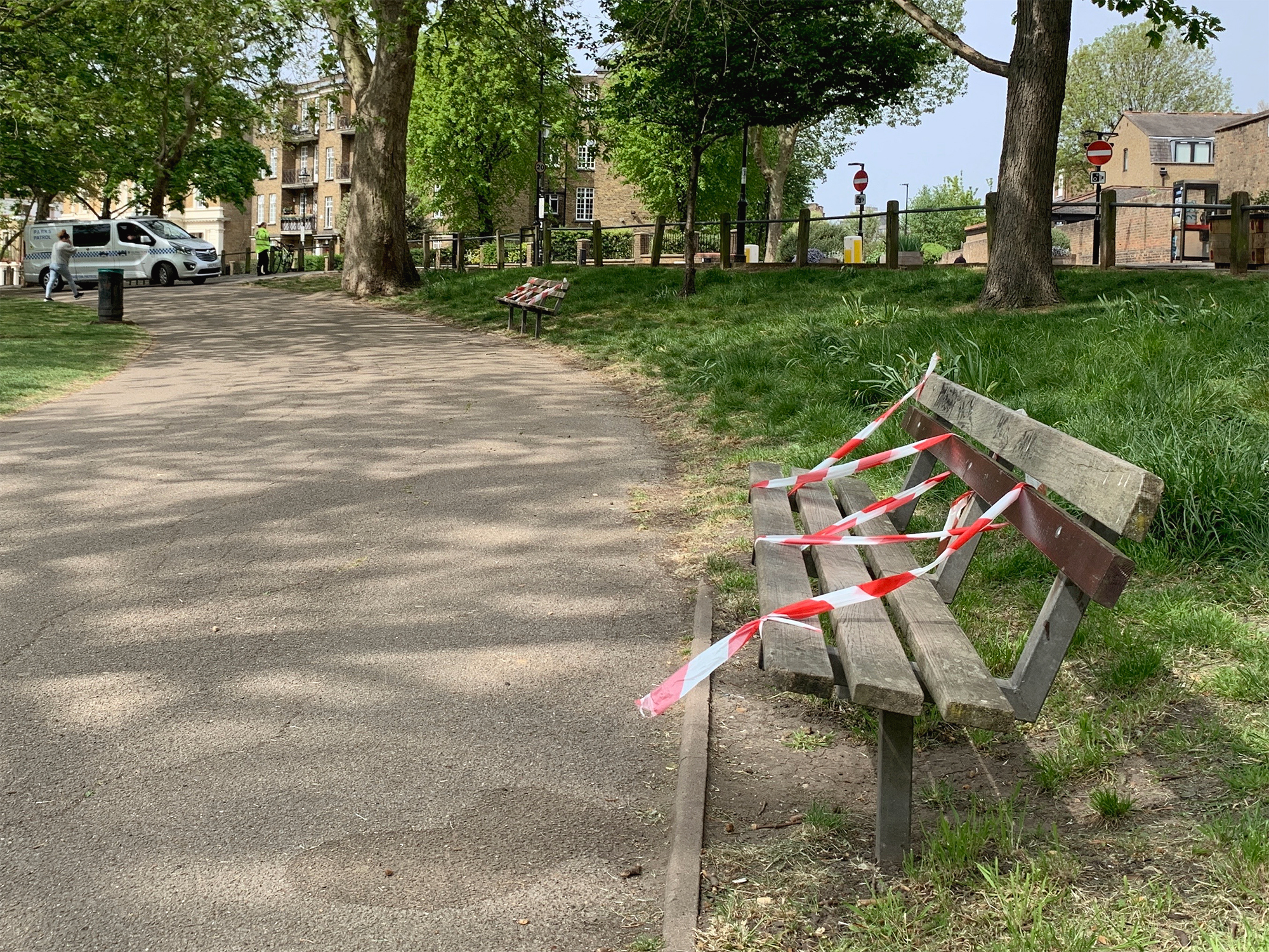
The parks, however, were increasingly busy, with people in perpetual motion. Lingering was discouraged, as people took advantage of their daily mandated exercise in the form of walking, running and cycling; with some London boroughs taping up benches and picnic tables, or simply removing them altogether.
The parks, however, were increasingly busy, with people in perpetual motion. Lingering was discouraged, as people took advantage of their daily mandated exercise in the form of walking, running and cycling; with some London boroughs taping up benches and picnic tables, or simply removing them altogether.
Runners in Finsbury Park.
Cyclists in nearby Hertfordshire countryside.
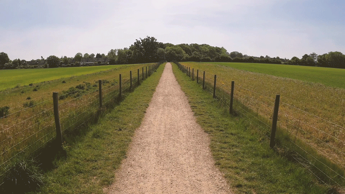
Topographia
(2019-)Landscape footage library
Short films, 16:9
There are landscapes that hold a romantic place in our collective consciousness.
Gently rolling hills evoke the pastoral idyll, the idealised society; while rugged upland peaks and chalk white cliffs are often symbols of freedom and courage, through stories of protest and war. A recent example of this of course was the Brexit referendum in which imagery of the white cliffs of Dover was used by Leavers to emote wartime associations of ‘freedom’ from the EU.
After completing my MA film Land Ground Earth Soil I started to generate a library of new landscape footage1 for future projects. It has become an inquiry into what it feels like to be in these landscapes: to experience their surfaces, form, scale and sounds; and observe the way visitors interact with them.
Wherever possible I use a drone for sweeping aerial views, along with ground-based stabilised tracking shots. Though sometimes it will simply be on my iPhone.
These are a few extracts from the library, in the form of 1 minute films.
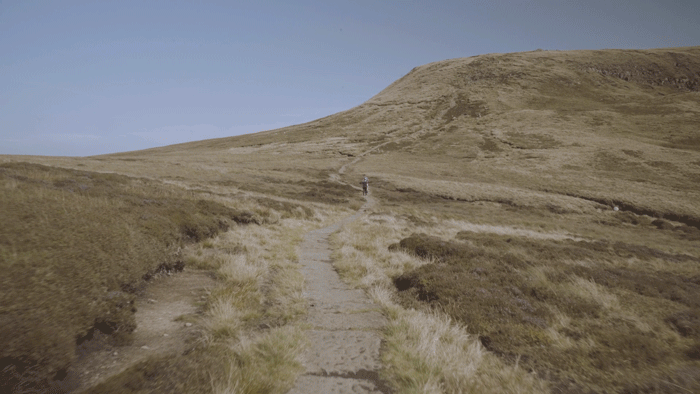
Kinder Scout (636m/2,087ft elevation).
Mam Tor (517m/1,696ft elevation).
These first two films are set in the Peak District.
The first retraces the Mass Trespass2 route up onto the Kinder Scout plateau. The landscape’s surface of summer grass and heather gives it a warm softness that belies its austerity. This and its relative inaccessibilty make it perhaps less inviting to casual visitors, but all the more interesting when the aerial views catch sight of people across its vast landform.
Meanwhile, the accessibilty and dramatic views offered by nearby Mam Tor attract visitors of all ages to make the short and steep ascent to its peak. They sit with picnics dotted across this natural ampitheatre and gaze out across the valleys and watch the paragliders.
Seven Sisters.
Camber Sands.
These next two films look at two very different landscapes where the land meets the sea on the East Sussex coast.
The chalk cliffs at Seven Sisters are often used in film to represent the white cliffs of Dover because they are more pristine with no nearby development. During my visit the sea was still and the air warm but overcast, which gives the aerial view an eery quality as it observes the rolling hills that form these dramatic cliffs and catches tiny people scrambling along them.
At Camber Sands the beach is vast and flat. The sea is at low tide and seems far away, almost out of the picture. The beach’s accessibilty, space and hard flat sand encourage visitors to set up whole communities of brightly-coloured tents, windbreaks and outdoor furniture.
1 Drone pilot G Hartley; stabilised camera operator D Hartley.
2 The Mass Trespass of Kinder Scout in 1932 was a protest by ordinary walkers against the private enclosure of this important landscape. It was one of the most successful acts of British civil disobedience and paved the way for National Parks legislation and, eventually, the Right to Roam.
2 The Mass Trespass of Kinder Scout in 1932 was a protest by ordinary walkers against the private enclosure of this important landscape. It was one of the most successful acts of British civil disobedience and paved the way for National Parks legislation and, eventually, the Right to Roam.
Inclinations
(2019)Mini short films
I live on top of a hill in north London so bike rides always end in an uphill climb home. The steepest approach (one of London’s steepest hills) is Swain’s Lane, which peaks at 14%.
I am interested in how we perceive a hill in a photograph. If the image faces up or down the hill, angles can sometimes be deceptive, diminishing the hill’s steepness. But looking sideways while still on the hill can reveal angles produced by buildings, structures and trees that all need to be perpendicular to a level base.
I am interested in how we perceive a hill in a photograph. If the image faces up or down the hill, angles can sometimes be deceptive, diminishing the hill’s steepness. But looking sideways while still on the hill can reveal angles produced by buildings, structures and trees that all need to be perpendicular to a level base.


One of my early drawing exercises at art school involved that of the view several floors down from the top of a stairwell. I thought it would be easy, but the angles of the stairs and banisters, when recorded flatly, were completely opposite to what my brain was telling me I was seeing.
This experience stayed with me and inspired this later visual inquiry: to film hills by ‘levelling’ them and revealing the angles in our built environment. I was interested too in the angles that people walk at to compensate for the hill, and any changes they make to their walking style.
This short film comprises three such inclination studies in Winchester, Lisbon, and London. More will follow.
The Narrows
(2019)Short film
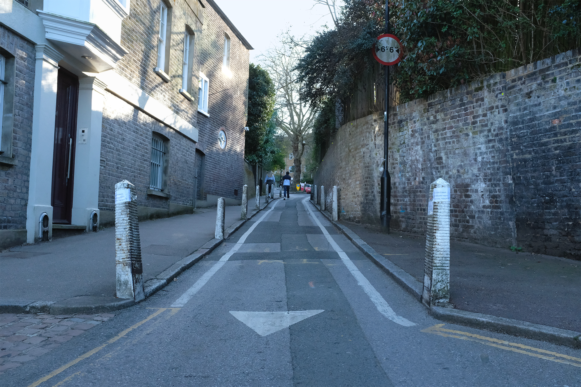
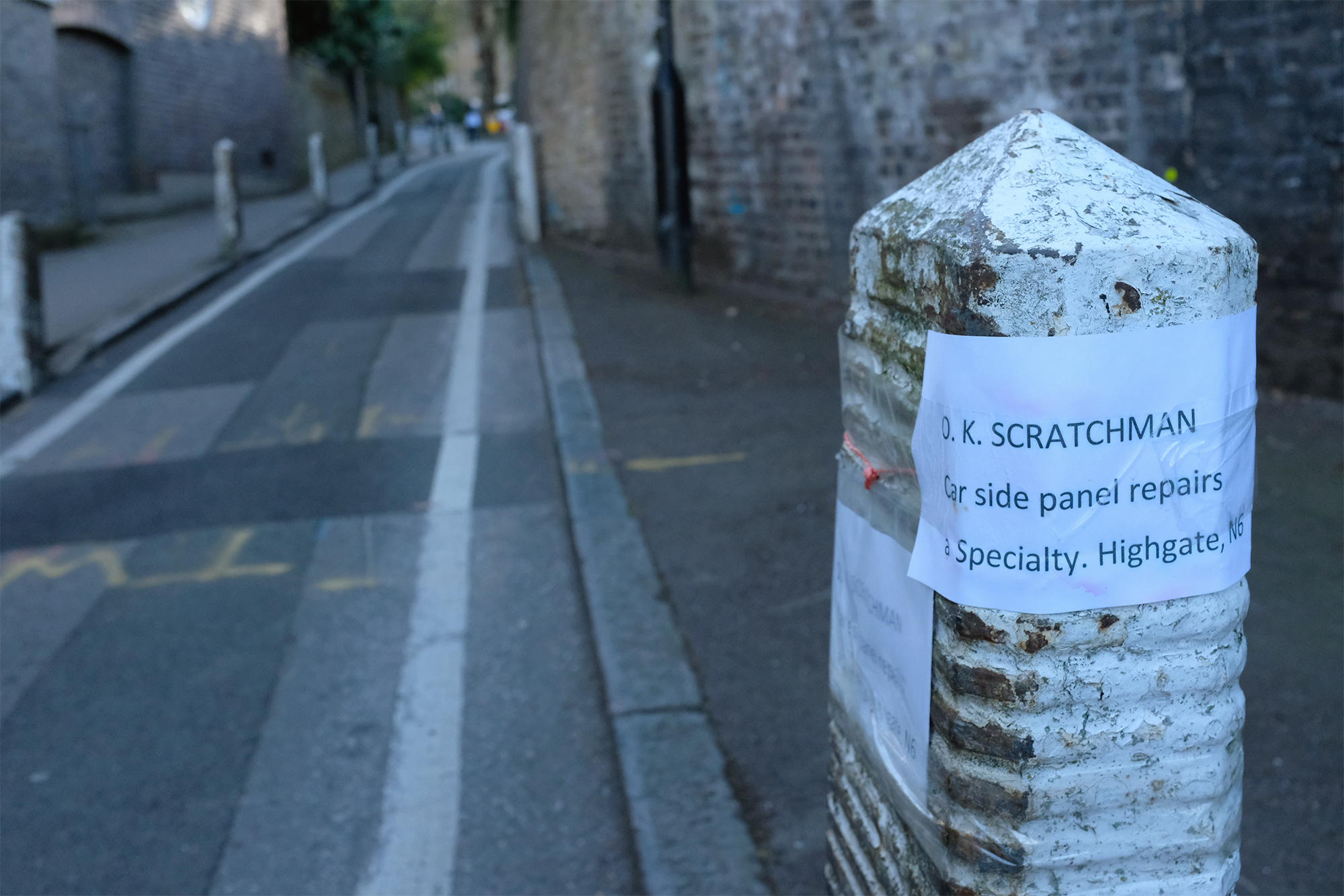
There is a street near me known as The Narrows. Many a vehicle has met its doom there, between the bollards in the hidden kink halfway along. At this point the driver usually screeches to a halt and suffers the indignity of passing smirks while waiting for a recovery call-out.
I was once there with the artist Chewing Gum Man, otherwise known as Ben Wilson. We were sitting on the ground next to the wall on the right, and I was filming him - as part of my Land Ground Earth Soil project - painting one of his micro art pieces on a piece of discarded chewing gum. Suddenly there was a loud bang.
I was once there with the artist Chewing Gum Man, otherwise known as Ben Wilson. We were sitting on the ground next to the wall on the right, and I was filming him - as part of my Land Ground Earth Soil project - painting one of his micro art pieces on a piece of discarded chewing gum. Suddenly there was a loud bang.